SURVEY & FIELD SERVICES
ECE’s Survey & Field Services Department provides precise land and construction surveying to support design, permitting, and construction verification for substation, transmission, and distribution projects.
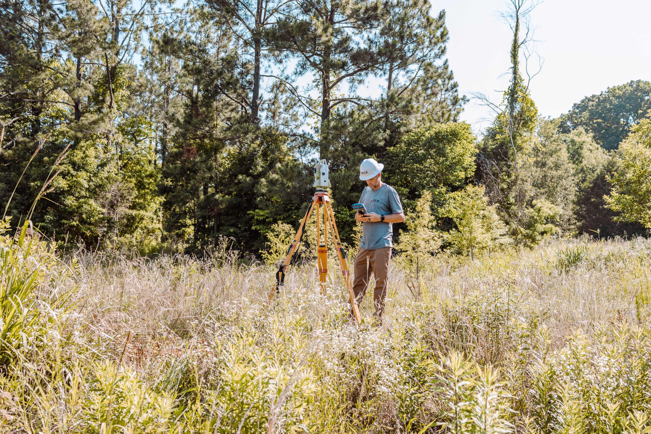
ECE’s field technicians use GPS and total-station technology to capture accurate spatial data for boundary, topographic, route, and as-built surveys. This information is directly integrated into design platforms like AutoCAD™, MicroStation™, and PLS-CADD™—eliminating data translation errors and ensuring engineering models reflect real-world conditions.
The team performs both pre-construction staking and post-construction as-built verification, allowing ECE and its clients to track progress and confirm compliance with design specifications. Our precise surveying also supports right-of-way mapping, environmental studies, and DOT permitting requirements.
By housing surveying capabilities in-house, ECE reduces coordination delays, increases data accuracy, and enhances communication across engineering disciplines—resulting in smoother project delivery and fewer field adjustments.

The Value ECE Provides
High-precision surveying integrated directly with engineering design tools.
Reduced construction risk through accurate staking and verification.
Seamless coordination between survey, siting, and engineering teams.
Cost savings from avoiding third-party survey delays or mismatched data.
Reliable as-built documentation supporting long-term maintenance.

Ready to discuss how we can help?
Not sure which services you need? We can help – contact our team to discuss your project.